September 29, 2022
Planet API
- Quick search API - Removed unimplemented
strictparameter from public documentation.
September 29, 2022
Tasking Dashboard Updates
Improvements 🙌🏻
- An improved export function provides the ability to download the current filter or table as either CSV or GeoJSON files. We now use the filter name for the file. Previously the export function used the current timestamp as the filename.
For example, If you save a filter as "Orders in Mexico," the download is "Orders in Mexico.csv." If you use a pre-defined filter such as "All Orders" the filter name is used.
Note: Special characters that are not allowed in a filename are replaced with an exclamation mark (!). Special characters include slashes (\ and /) and periods (.).
- You can now select all columns at once using the Column Picker.
September 22, 2022
New Releases of the Planet Add-ins for ArcGIS Pro
Planet Add-in 3.0 and 2.2.1 both provide an indicator that shows the size of the area-of-interest (AOI) used to search for imagery and Basemap quads.
Planet Add-in Version 3.0
- Planet Add-in 3.0 for ArcGIS is the first version of the add-in that is compatible with ArcGIS Pro 3.x.
- Planet Add-in 3.0 provides the ability to download imagery with STAC metadata. STAC metadata is more compatible with ArcGIS and similar applications.
Planet Add-in Version 2.2.1
Version 2.2.1 is the final version of the add-in compatible with ArcGIS Pro 2.x.
September 14, 2022
Improvements 🙌🏻
All data available in your area of interest is now visible. Previously, to narrow results a three month date range was auto-populated. With this change, all available data going back to the first capture is displayed. You can use the date range filter to narrow results according to your time of interest.
Bug Fixes 🐛
We have fixed some issues that caused the application to fail unexpectedly for some customers.
August 31, 2022
New ✨
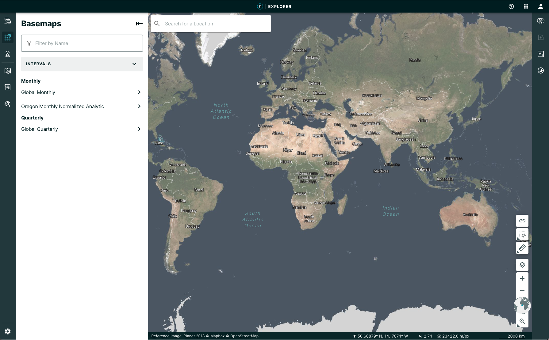
- Navigate to your AOI without spending any tile view quota: when you first load Explorer you will see a Global reference image that you can use to find your area of interest.
- Only spend tile views once you find relevant date: We used to auto-select the most recent image. Now, once you create your area of interest, you will see the menu of data results and can select the data that meets your criteria. You will only start spending tile views once you select a data product. If you are loading a saved session from a shared link, you will see your selected image and use tile views for that.
- Basemaps have a new home! They now have a dedicated sidebar with some improved filters.
- The search input to search for a location has also been moved to be in the map.