February 08, 2023
Improvements 🙌🏻
- It is now easier to select your time of interest in Explorer, especially for date ranges beyond two months. You can now enter your start and end date ranges as well as select them on the calendar.
- We have made improvements to Compare mode. You can now see the search field while in Compare mode. If you'd like to search for another location, you can do so faster now.
- If you try to place an order clipped to a complex geometry, the order will fail. We now include a fail safe in Explorer that disables the clipping option if your geometry is too complex. This way, you can place an order that will go through successfully.
- We have changed the defaults when you place an order. Harmonization will no longer be on by default; this tool is best applied if someone is ordering PlanetScope data from various constellations (for example, SuperDove and Dove-R); this situation does not apply to most people because SuperDoves provide full coverage. The clipping tool will remain on by default.
Bug Fixes 🐛
- Small AOIs will now show their area correctly up to 3 decimal places instead of 0 km2.
- We've fixed an issue that led to the application crashing when SkySat items were ordered as Hosted Data.
February 3, 2023
Improvements 🙌🏻
Additional STAC Metadata
The STAC Metadata output from the Orders API has been updated with additional fields:
- Items now have a created property with the original publication date time for the imagery, aligning with the core STAC metadata fields.
- Item assets now have eo:bands metadata with band names and descriptions.
- Item assets now have raster:bands metadata with data type, “nodata” values, resolution, statistics, and calibration coefficients.
- Items assets now have roles describing their intended purpose.
The published field is now considered deprecated, but will remain available until the next release to give implementations time to switch over to created.
January 26, 2023
Planet Add-in for ArcGIS Pro Updates
Improvements 🙌🏻
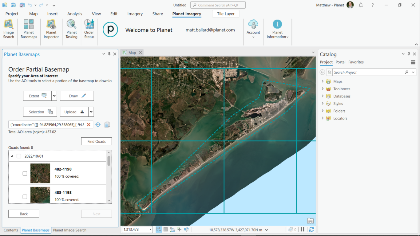
You can now view a size estimate when you draw an area of interest to search for Basemap quads.
Bug Fixes 🐛
- The auto-fill coordinates feature now correctly completes fields in the Tasking Dashboard when specifying a location in the Tasking panel.
- The Planet Add-in for ArcGIS Pro now supports organizations that are using system proxies.
January 19, 2023
Tasking Dashboard Updates
Improvements 🙌🏻
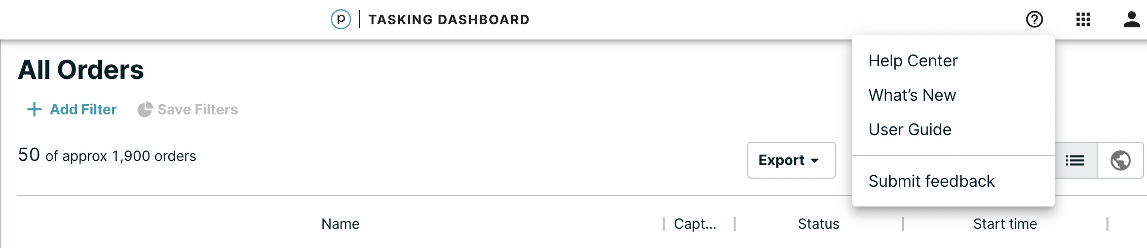
- A link to Planet help and support resources is added to the Tasking Dashboard's main navigation.
-
The Estimated quota cost for the sqkm of an order request is now displayed:
-
In the footer of the Create an order page.
-
At the bottom of the ORDER SUMMARY page. Also, the CONTRACT TO DEDUCT FROM is listed.
-
December 15, 2022
Tasking Dashboard Updates
Improvements 🙌🏻
- The Tasking Dashboard has added support for KML files with the elevation parameter. KML files store map locations that are viewable in various geographic information systems (GIS) applications.
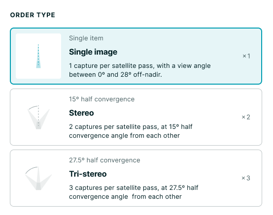
- In Tasking Dashboard > Create an Order > Other Requirements, the Order Type selection has changed as shown in the following illustration: