July 28, 2023
Planet QGIS Plugin
Improvements 🙌🏻
The new Planet QGIS Plugin provides the following enhancements:
-
Customers can access the new publishing stage filters for PlanetScope data. The filters provide the ability to see even more available PlanetScope imagery in your Area of Interest (AOI). More details on the publishing stage filters are available in, Items & Assets.
-
Customers can apply a composite tool at order checkout. The composite tool seamlessly arranges scenes to produce a reduced number of images with minimal or no overlap. By eliminating unnecessary overlaps within the imagery, the overall area covered in the delivered imagery for an AOI or strip is decreased.
Note: The PSOrthoTile Item Types are deprecated and have been removed from this version of the Planet QGIS Plugin.
June 08, 2023
Google Earth Engine Order and Delivery Updates
Improvements 🙌🏻
Google Earth Engine (GEE) is a supported delivery destination for the Orders API and with this release, all Orders API tools are now supported. This allows you to apply preprocessing to your imagery before it is delivered to GEE. This includes tools for the following imagery processing:
- Top of Atmosphere Reflectance (TOAR)
- Bandmath
- Coregister
- Composite
- Clip
- Harmonize
- Reproject
This release also includes support for ordering Planet Basemaps.
February 16, 2023
Planet QGIS Plugin Version 2.3 Updates
Improvements 🙌🏻
- An area estimate is displayed when you draw an area of interest to search for Basemap quads to download.
- STAC metadata is now available as an option when placing an order.
- A new Add to Map button is included in the Orders panel. When Add to Map is selected, a true color visualization of PlanetScope or SkySat imagery is automatically rendered in the QGIS map.
- An improved multi-polygon search has been added. You can now search for individual polygons in a multi-polygon or select a bounding box around the multi-polygon extent.
Bug Fixes 🐛
- The auto-fill coordinates feature now correctly completes fields in the Tasking Dashboard and a location is specified in the Tasking panel.
- The Basemap series cadence is now in the correct sequential order.
- The metadata fields in imagery footprints now display the correct data type.
January 26, 2023
Planet Add-in for ArcGIS Pro Updates
Improvements 🙌🏻
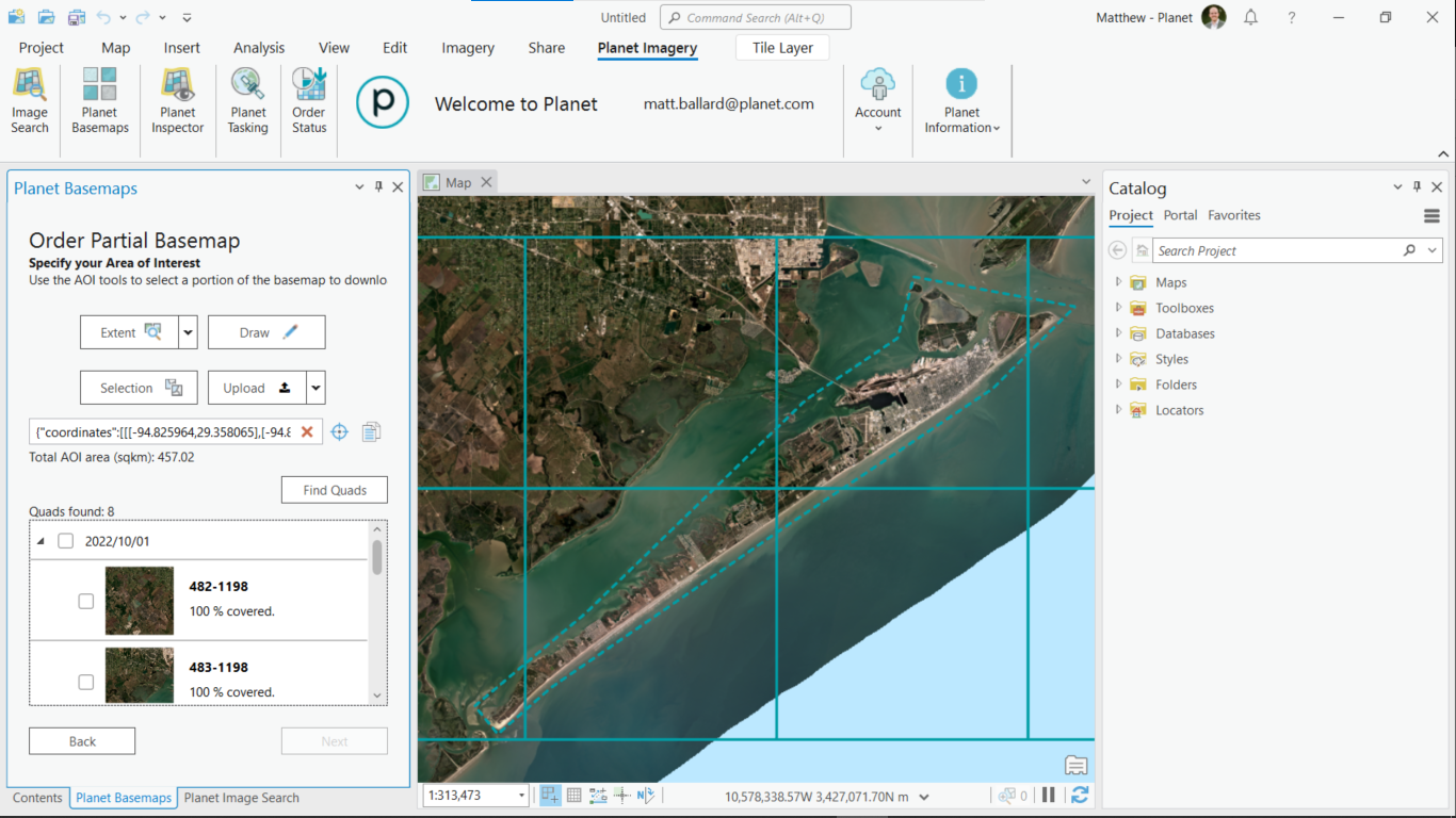
You can now view a size estimate when you draw an area of interest to search for Basemap quads.
Bug Fixes 🐛
- The auto-fill coordinates feature now correctly completes fields in the Tasking Dashboard when specifying a location in the Tasking panel.
- The Planet Add-in for ArcGIS Pro now supports organizations that are using system proxies.
September 22, 2022
New Releases of the Planet Add-ins for ArcGIS Pro
Planet Add-in 3.0 and 2.2.1 both provide an indicator that shows the size of the area-of-interest (AOI) used to search for imagery and Basemap quads.
Planet Add-in Version 3.0
- Planet Add-in 3.0 for ArcGIS is the first version of the add-in that is compatible with ArcGIS Pro 3.x.
- Planet Add-in 3.0 provides the ability to download imagery with STAC metadata. STAC metadata is more compatible with ArcGIS and similar applications.
Planet Add-in Version 2.2.1
Version 2.2.1 is the final version of the add-in compatible with ArcGIS Pro 2.x.