March 22, 2021
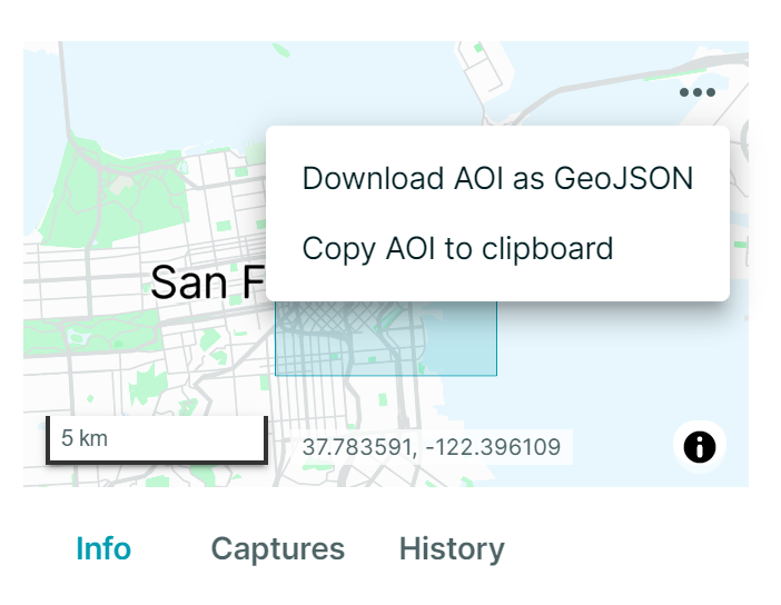
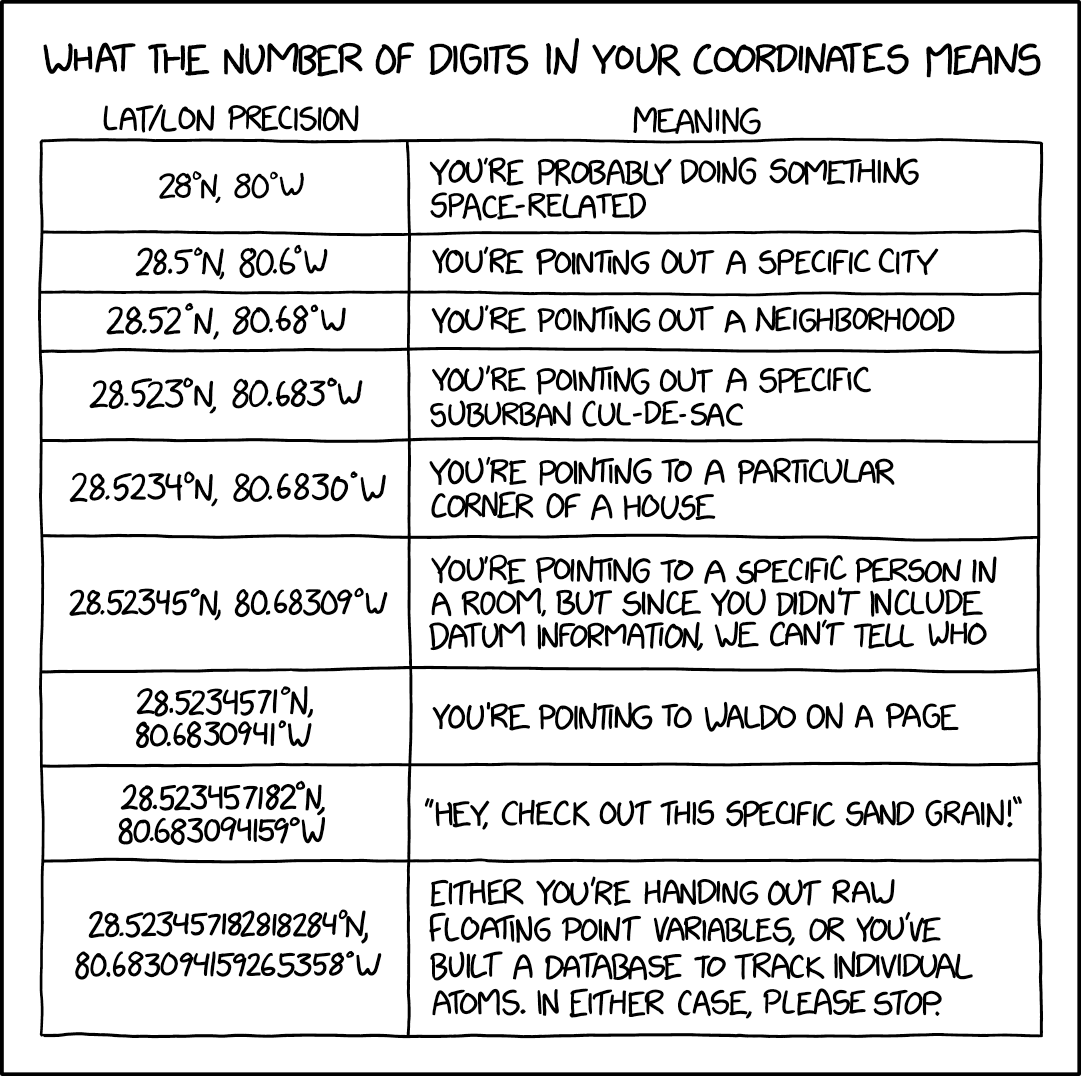
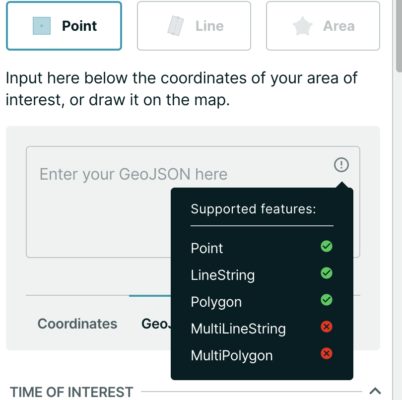
Use a maximum of 6 digits in coordinates precision since we have 0.65m ground sample distance anyways.
March 16, 2021
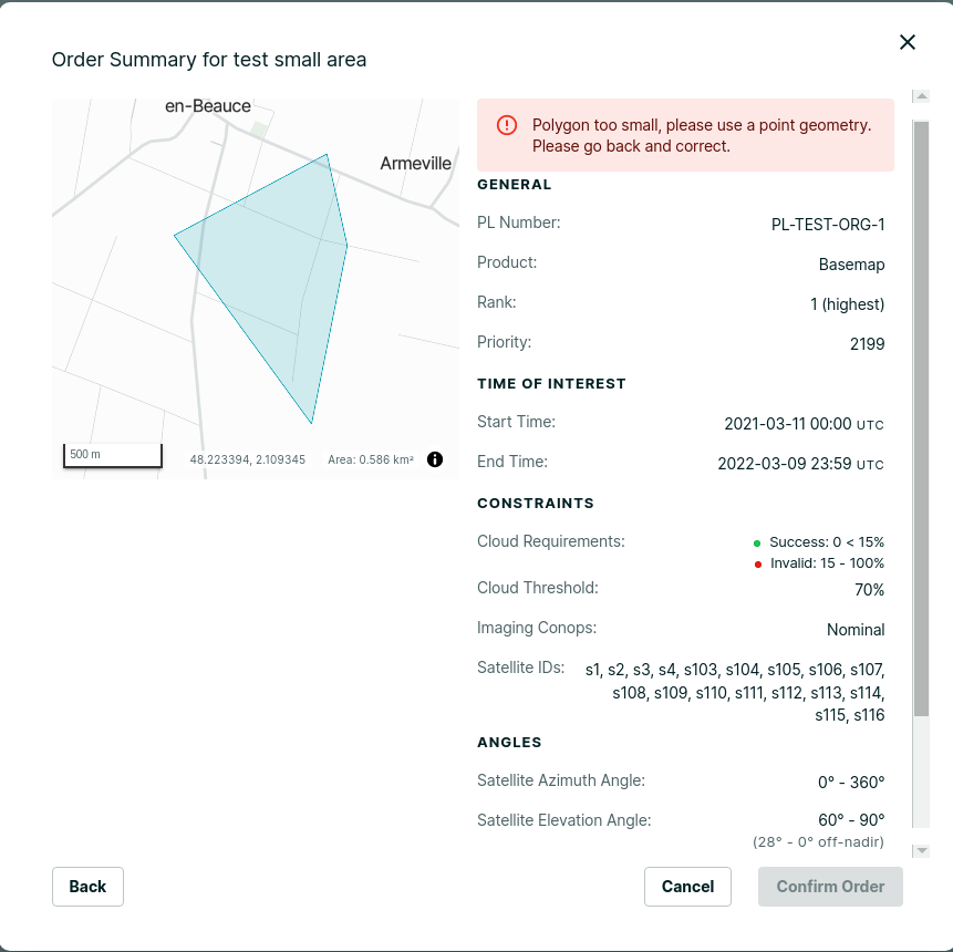
Handle area geometries smaller than 25 km2 better, this means showing any errors coming from the backend, and allowing the user go back and change the geometry so it can be entered.
March 11, 2021
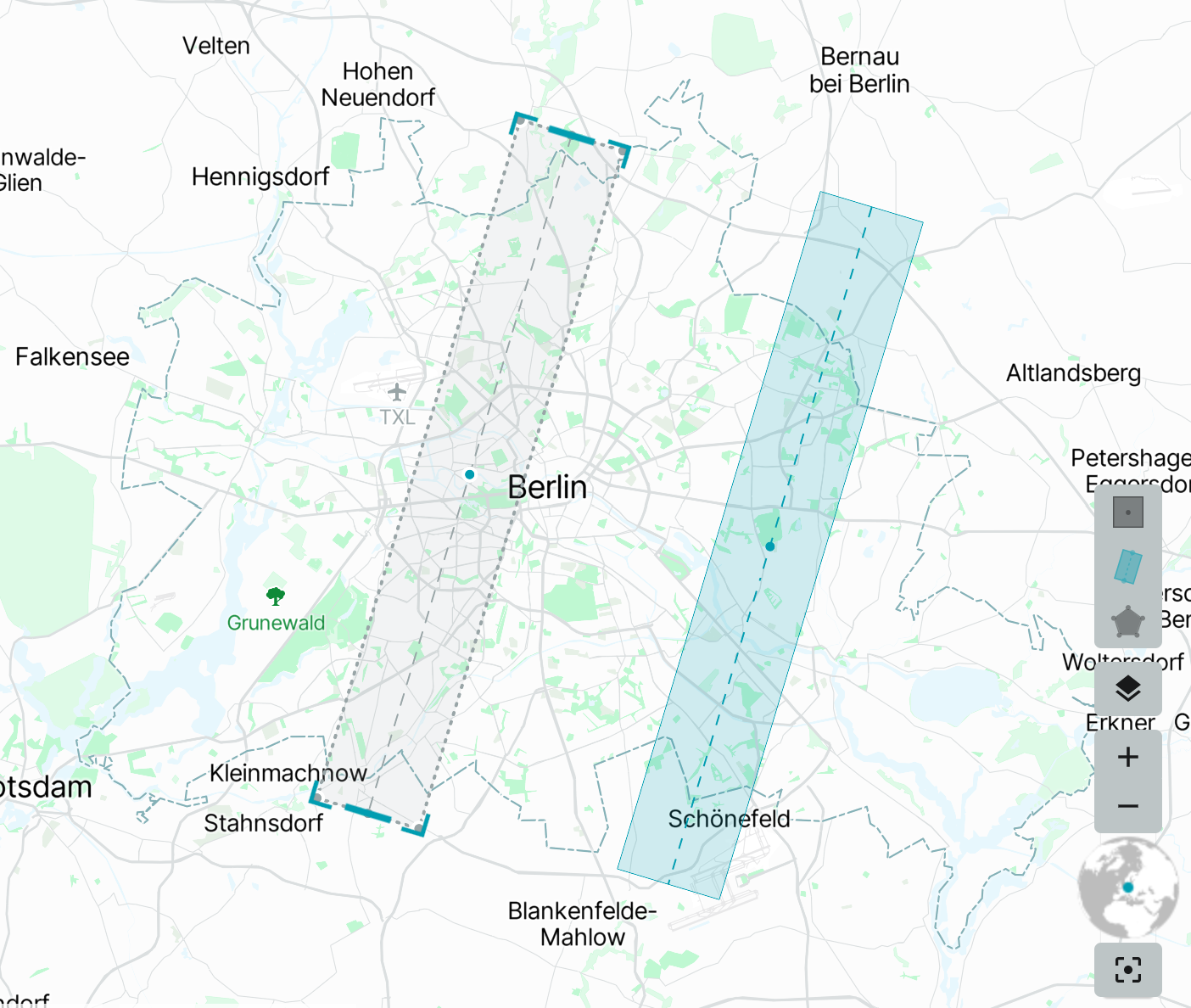
Show central point and middle-line on linestring and point geometries while moving them in the order entry map.
