High-Res images are taken upon request and require a paid plan. You can go directly from Explorer to the Tasking Dashboard to place an order for SkySat imagery for the same area of interest you were looking at.
SkySat imagery ranges from 50 cm resolution to 80 cm resolution, depending on orthorectification and altitude.
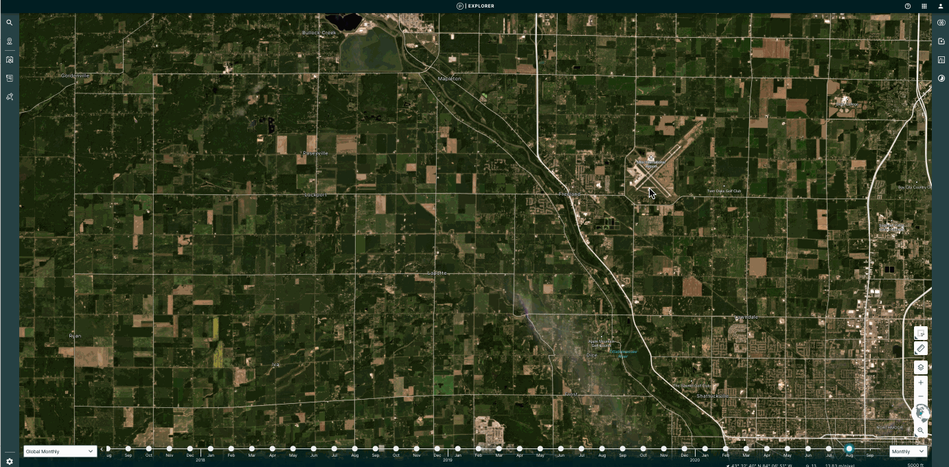
Search for your Area of Interest in Explorer
You can search for your area of interest by typing in a location, uploading a geo file, or drawing an area of interest on the map.
Click Task button in Explorer
In the left hand toolbar, click on the fifth icon from the top. The tooltip message will read Task a high resolution image.
By clicking this button, you will be taken to the Tasking Dashboard. The center-point of your screen in Explorer will be transferred to the Tasking Dashboard and you can submit your request to task a SkySat satellite.
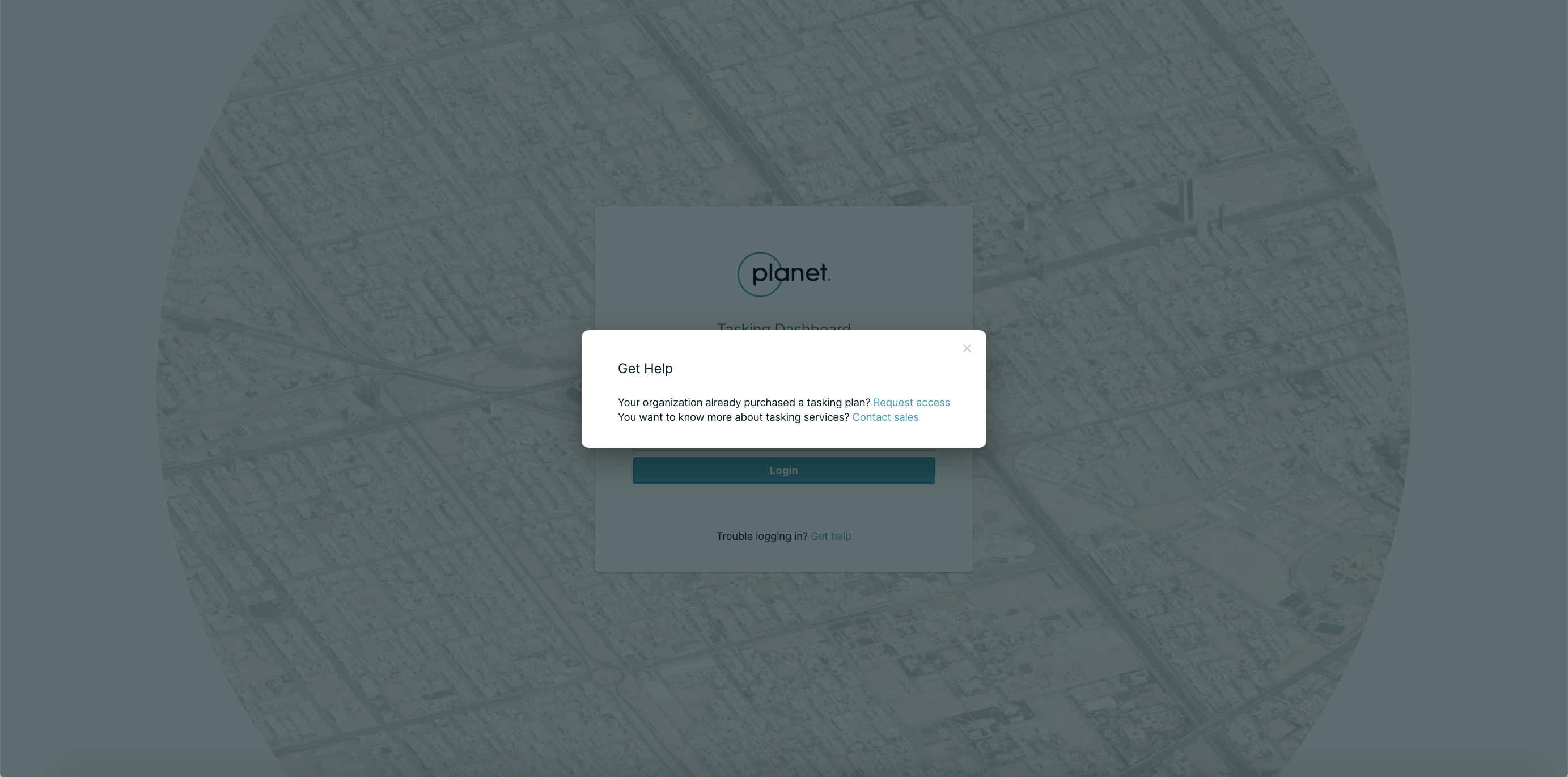
Log in to the Tasking Dashboard
You will need to log in to the Tasking Dashboard with your Planet Account credentials to continue. If you or your organization have not yet purchased a tasking plan, you will not be able to log in. If your organization has purchased a tasking plan, but your account does not have access, you will not be able to log in.
If you have trouble logging in, click Get Help right under the Login button.
You will see two options, depending on your scenario. If you have not purchased a tasking plan, contact sales. If you have, email us to request access.
Submit details in the Tasking Dashboard
Once you log in to the Tasking Dashboard, you will be able to submit a point order for your area of interest. Your area of interest will be displayed as a pin on the map on the left handside and as latitude and longitude coordinates. You may adjust your area of interest by moving the pin on the map.
Rate this guide: