July 01 2020
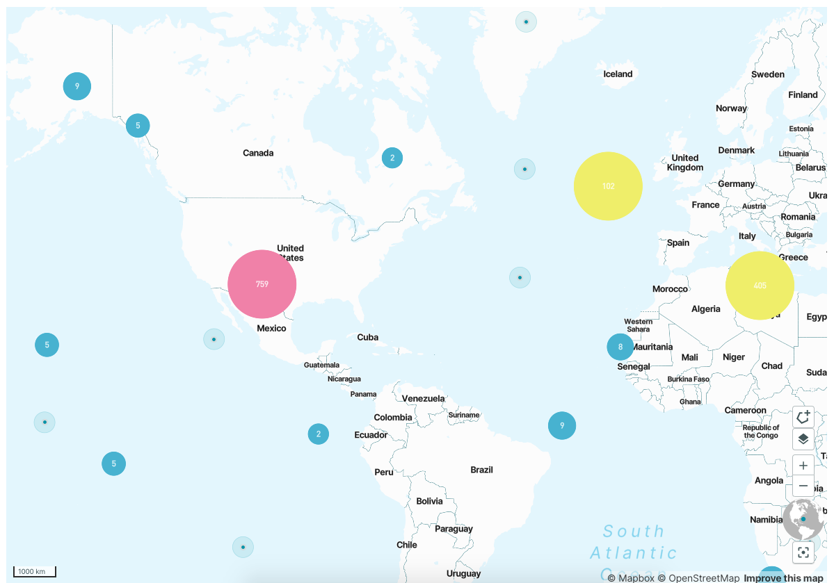
Users can now access a map view with all orders visualised in clusters. While zooming in these clusters are ungrouped to order shapes.
We also enabled a geographic filter that can be drawn on the map filtering orders inside this filter. Table view will reflect the geographic filter and respective orders.

June 22 2020
Customers can now connect their tools with the Tasking Dashboard directly via a deeplink that lands on Order Creation with pre-filled order details that have been configured in the URL.
URL parameters (all parameters are optional):
- Pl-number
- product
- start time
- end time
- geometry
- order type
- number of stereo captures
June 17 2020
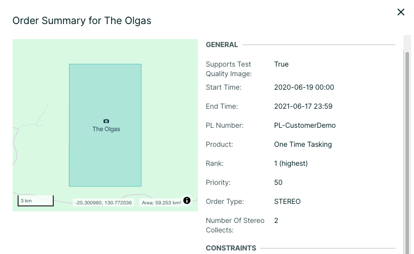
Users can now see order dimensions in the order summary exactly calculated by the system and not with an approximation.

May 19 2020
-
Validation on allowed geometries when submitting a GeoJSON file is now enabled. For example, multipolygons or 3D objects are not supported.
-
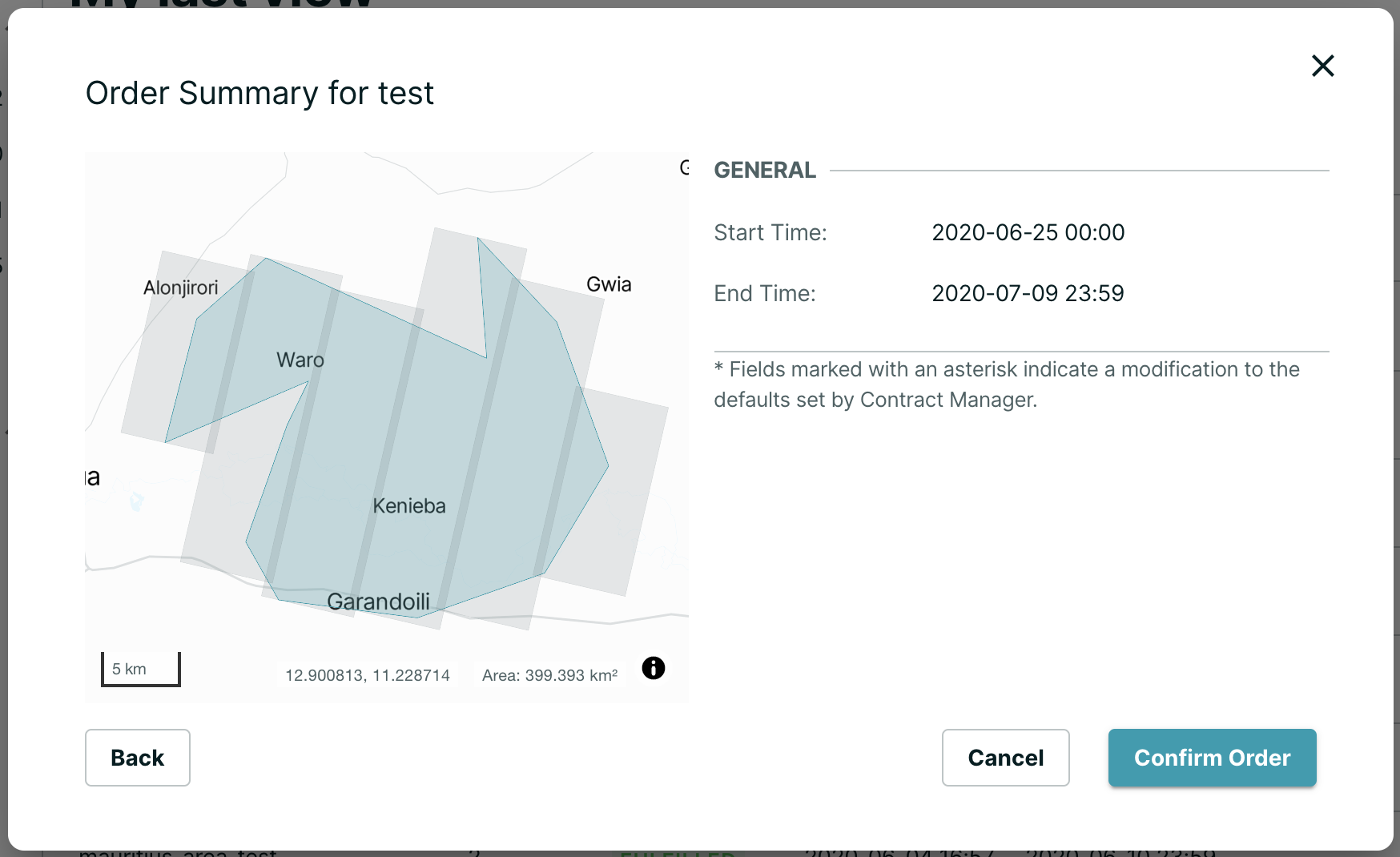
Visualising area orders are now automatically tessellated and displayed on order creation:

