Planet Explorer and the Planet Data API accept geometry in GeoJSON format. This guide explains some of the basics of working with GeoJSON.
Creating Geometry
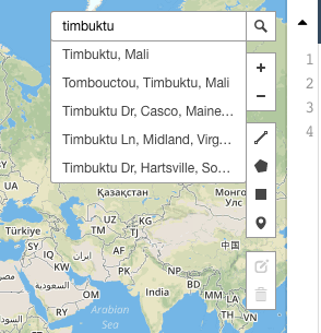
We often use the tool GeoJSON.io to create geometry.
You can search by place name.
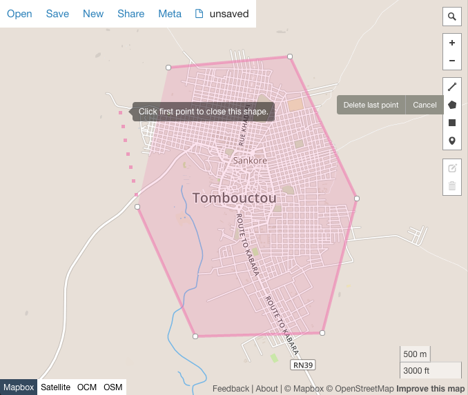
Then graphically draw a polygon:
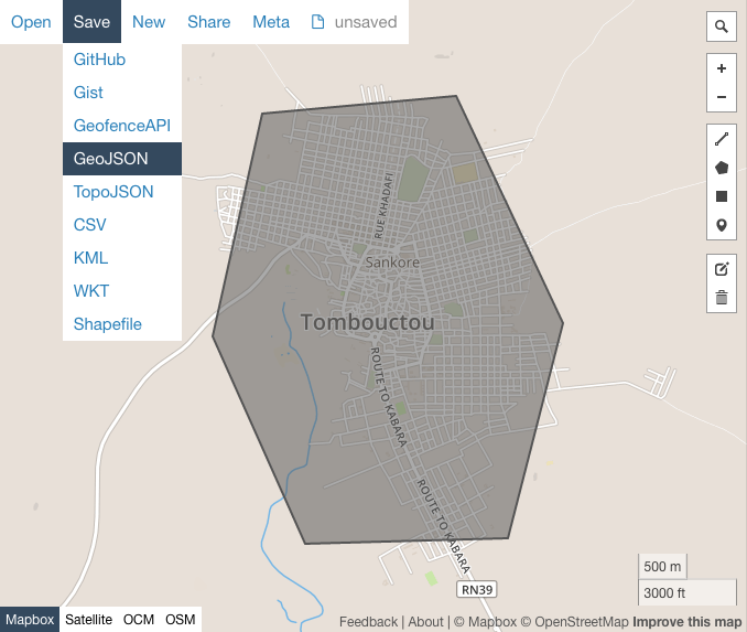
And export the GeoJSON, to upload to Planet Explorer, or use in your Data API query.
Simplifying Geometry
A common trap is using highly complex geometry. Querying the Data API with complex geometry can significantly increase search response times, and Planet Explorer limits you to a 1MB file.
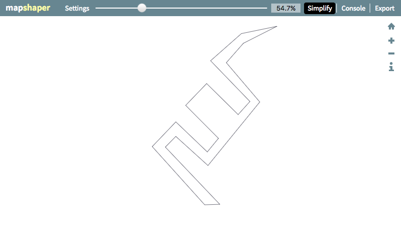
MapShaper.org is a tool that 'simplifies' your geometry to get around these issues.
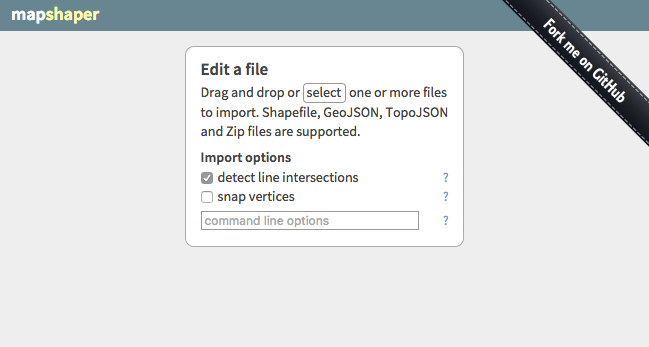
Simply upload your GeoJSON file, click 'Simplify' in the top right corner -> Apply -> move the slider to until the number of vertices has reduced, but the shape is sufficiently maintained.
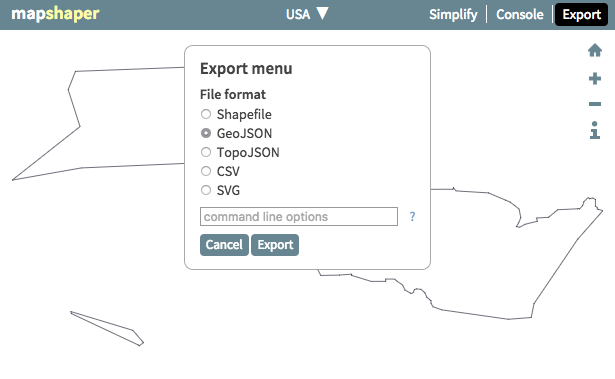
Export the new simplified geometry, to use it to search the Planet archive again.
Converting Shapefile to GeoJSON
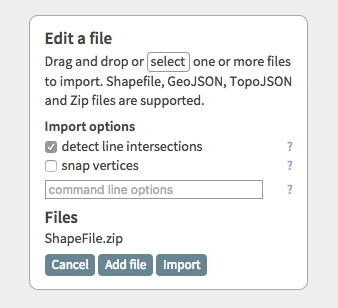
Compress your .shp and all associated files into a .zip file. Drag this .zip file onto the mapshaper.org homepage. Click 'Import', then 'Export' in the top right corner, and select 'GeoJSON'.
Planet GeoJSON Specifications
Planet has the following GeoJSON requirements:
- EPSG:4326 Projection
- No self-intersections
Planet supports the following GeoJSON specifications:
Questions or comments about this guide? Join the conversation at Planet Community.
Rate this guide: